


K-robot’s map information system (GIS)
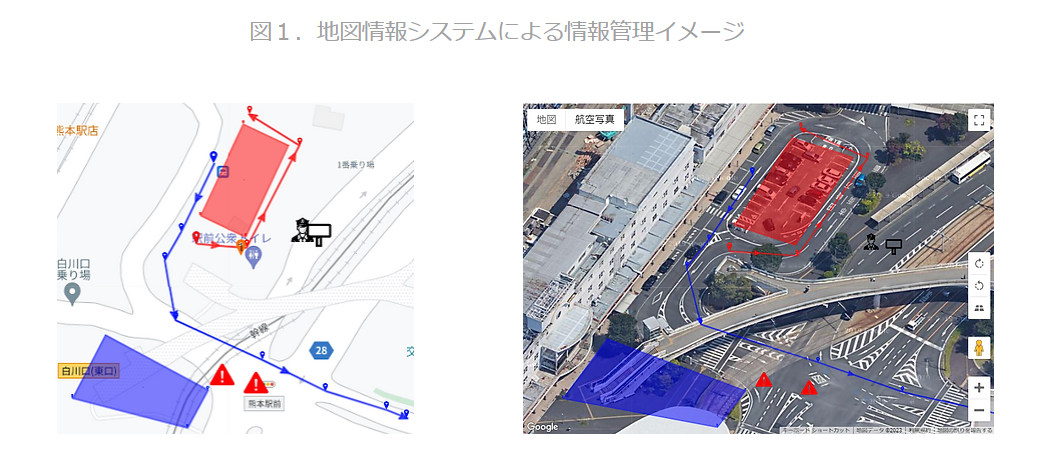
In the context of the Mynavi Tour de Kyushu 2023, as part of their efforts to promote Digital Transformation (DX), they have collaborated with K-robot, the Consulting Partner of the event, to develop an operational system utilizing GIS (Geographic Information System). This system is designed to enhance various aspects of event management, including:
-
Tracking Vehicle Positions: The system allows for real-time tracking and monitoring of vehicle positions during the event.
-
Efficient Race Operations: It contributes to the streamlining and efficiency of race operations, ensuring a smooth and well-organized event.
-
Providing Traffic Regulations Information: The system enables the delivery of up-to-date traffic regulation information to event attendees and spectators.
-
Offering Spectator Information: Spectators and attendees can access valuable information related to the race, enhancing their overall experience.
By harnessing GIS technology, the Mynavi Tour de Kyushu 2023 aims to leverage data and spatial information for improved event management, safety, and overall enjoyment for both participants and the audience.